WALKING IN THE VALPOLICELLA ALONGSIDE THE ADIGE RIVER
in Pescantina

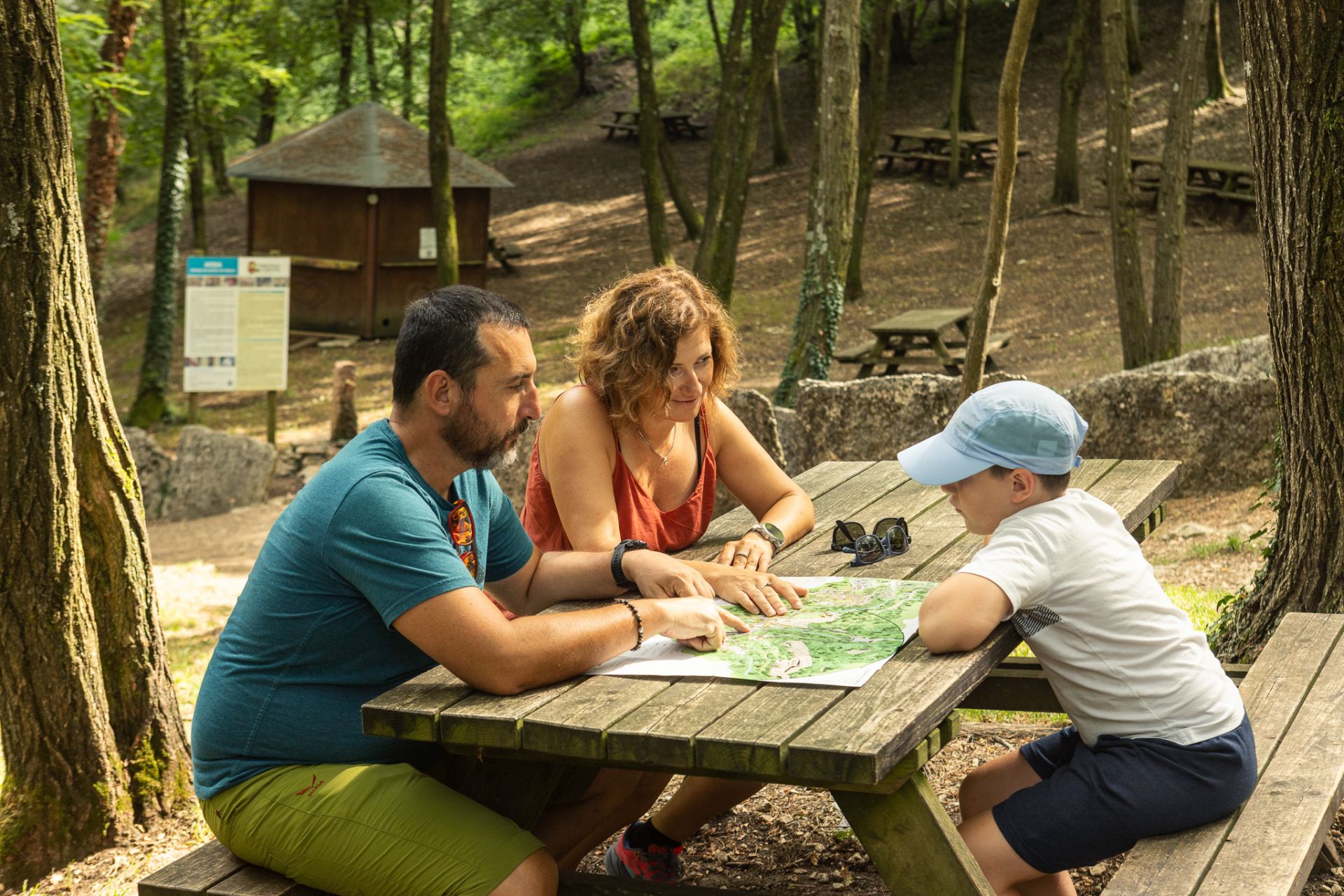
ROUTE ONE
Pescantina West
The first route starts out from Piazza San Rocco, the historical centre of Pescantina, surrounded by little lanes, porticoes, courtyards and a few old houses in which traces of murals can still be seen.
Leaving the little church of San Rocco (1) behind you and following the flow of the Adige westwards, go down a few steps and take the route that runs along the old towpath.
On the right, before the new bridge, you can see a water gauge dated 1909, and just after it, at a height of a few metres, you can admire a high relief by the sculptor Giovanni Giacopini.
Next to the second bridge along the road is an important building, unfortunately now abandoned, that was once the headquarters of the Regia Guardia di Finanza, the Italian Royal Finance Police (2).
Continuing on towards the Cathedral, emerging from the vegetation on the left, you can see the base of a water wheel built in brick and shaped stone (dated around 1900).
Looking onto the square on the right is the magnificent church of San Lorenzo (3). After the church, go around the Mandella neighbourhood, where there was once a furnace and a restara (at number 18), a sort of station with lodgings and a stable that could be used by the boatmen and the draught animals, featuring the coat of arms of the Salvi family, who owned these buildings during the 18th century. On the walls of number 10, you can see traces of a sacred image from the 16th century, and on the riverbank, significant traces remain of the small landing stage that made it safer for boats to dock here.
The path continues along between the river and the boundary wall of a large stretch of farmland, until the bridge that connects the village of Arcé (4) with the right bank of the river.
Here on the right, you can see two of the towers that mark off the grounds of Villa Albertini-Da Sacco (5).
Visible at the mouth of the bridge are some interesting paintings of the Madonna with saints, and at number 11, a fine fresco dated 1519 depicting the Madonna, San Lorenzo and San Rocco, as well as a coat of arms of the Salvi family.
Just after that, a little lane takes off to the right and winds its way through centuries-old walls to the little Romanesque church of San Michele (6).
Further on from here are the remains of an irrigation channel with high pillars, which when it was in use was supplied by a water power system equipped with four wheels.
After the little Murette neighbourhood, the route continues towards Rovejago, where the bed of the Adige widens; another partial stretch of irrigation channel marks this part of the route.
After a brief stretch, on the right you can see the picturesque Tegnente neighbourhood, surrounded by a large orchard and an imposing arch, the remains of another water power system that marks the point where a mill once stood on the ground, featured on maps dating back to the 18th century.
To reach Santa Lucia (7), continue along a clearly marked path, and once you come off the towpath and enter the little village, it is worth taking a moment to admire the little church built centuries ago and dedicated to Santa Lucia (8).
Back on the path again, you can immediately see, on the right, the pillars of a water power system from the second half of the 19th century; a particularly beautiful stretch of path that meanders through the lush vegetation continues until Ponton (9), and this last stretch of the itinerary is classified as a nature oasis.
ROUTE ONE - NOTES
(1) The church of San Rocco is a building of modest dimensions, featuring a bell tower with battlements. Visible inside, behind the Baroque altar, are traces of the wall decorations, while the foundations of the earlier church can be noted under the floor of the apse.
(2) The large building has a simple facade that looks right onto the towpath. Probably of seventeenth-century origin, and reconstructed in the 19th century, it features two interesting heads sculpted on the keystone of the entrances, depicting Umberto I of the house of Savoy and Queen Margherita.
(3) The magnificent church of San Lorenzo, built in the second half of the 18th century, is Neoclassical in shape, with Baroque elements; walled into the base of the 80 m high bell tower on the left is the lid of a sarcophagus from the Roman age. Still standing next to the parish is the old Romanesque-Baroque church, inside which is the ethnographical museum entitled “Work and traditions along the Adige river”.
(4) In the charming little hamlet of Arcé, time almost seems to have stood still, and the stone material found here from the Roman age confirms its ancient origins.
(5) Villa Albertini-Da Sacco is a strikingly attractive complex, with the large noble building and its decorated ceilings preceded by the gardens, the outbuildings and the chapel of Sant’Anna. Along the boundary wall of the gardens are a number of decorative towers featuring a variety of styles.
(6) The church of San Michele stands alone to the west of the village, and was built between the 11th and the 12th century. The inscription on the south door is a palindrome “sator arepo tenet opera rotas” (it reads the same from left to right and from right to left). Still visible inside are pieces of the fresco, the most significant of which features San Michele, painted in the conch of the apse.
(7) Santa Lucia, in a secluded location in farmland by the Adige river, was first indicated as a vicus (village) as early as the 9th century.
Two mills were located on the land in the 19th century, and the area is today renowned for the spa centre established here.
(8) The old church of Santa Lucia is a small building with a gabled facade, dating back to the 12th century. Inside, you can admire late-mediaeval mural paintings and others from the 17th and 18th centuries.
(9) Ponton was once a river port from which marble and wine from the Valpolicella was transported. The name probably derives from pontone, a particular type of barge.
ROUTE TWO
Pescantina East
This route begins by leaving behind the centre of the village with the church of San Rocco, and continuing alongside the river towards the west, past the Le Grotte neighbourhood with its little lanes and steps.
From here, a steep slope of stones climbs up towards a group of old houses known as the Castello courtyard.
From this point of the towpath, splendid views can be had right across the bend of the Adige river; further ahead sits a farmhouse with the outline of a large mural painting on one side. Near the river, hidden away among the vegetation, are the ruins of a mill.
At this point, the towpath runs close to the Adige, flanked by the boundary walls of the fields, until you reach the secluded neighbourhood of Tremolé, from which the route continues along through black locust and willow trees.
The route changes near the mill known as “del Progno”, built directly on the Adige next to the waterway it takes its name from: Progno di Fumane.
Just a few metres later, the path takes off to the east, sandwiched between a wall marking the boundary between a field and the Adige. It soon reaches a stretch of asphalt road near the village of Settimo (10), which from this perspective is preceded by the striking irrigation channel that crosses the orchard of Villa Bertoldi.
The construction is made up of some twenty pillars and arches in brick that support the actual channel itself, which is made of stone.
The old houses of the Porto neighbourhood feature a number of interesting construction elements, such as the stone plate that marks the level reached by the waters of the Adige in 1882. From here, heading inwards, you can quickly reach the three villas that bring a touch of prestige to the village of Settimo (11).
Back on the river bank, half a kilometre along the route lies Sabbioni, with just one dwelling, embellished inside with decorative elements from the late 19th century. Further along is the neighbourhood of Ramon, where, at the side of the path, there is a milestone marking the 40 km distance between here and the border with the Trentino region. This part of the river is particularly attractive, due to the rich vegetation that grows along the banks.
Further on from here is the Colombina courtyard located close to the river (12); further along still is Nassar, where there was once a hostel for travellers. The village contains a number of old buildings featuring interesting architectural elements, such as the old mill, which is now a housing complex.
The towpath continues towards Parona and then on to Verona.
ROUTE TWO - NOTES
(10) Between the 16th and 18th centuries, Settimo, whose name derives from the seventh (settimo) milestone along the Claudia Augusta Roman road, was chosen as a holiday location by a number of noble families from Verona, who built richly decorated residences and gardens here.
(11) Villa Sparavieri is a construction of 15-16th century architecture, with a portico and an elegant loggia with columns; particularly interesting are the chimney tops.
_Villa Vascone-Bricci, now Villa Manni, is composed of a noble building with stone steps on both facades and featuring wings, porticoes and dovecots.
_Villa Bertoldi took on its current appearance in the 18th century, and underwent a number of changes in the 19th century. Inside the simple, linear building are some interesting furnishings, and the construction is surrounded by land, outbuildings and gardens. There is also a beautiful chapel dedicated to Sant’Antonio of Padua, and a centuries-old votive shrine to the Madonna Addolorata.
(12) In an isolated position, the “Colombina” (formerly Villa Morandina) is a group of houses built around a square courtyard. Preserved in some of the rooms are wall paintings of some interest.